-
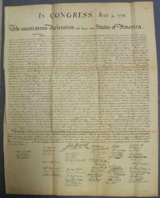
United States Declaration Of Independence 1850 Lepelle Antique Plate
-

1860 Mitchell Hand Colored Map Colorado, Nebraska & Kansas - Civil War Era
-

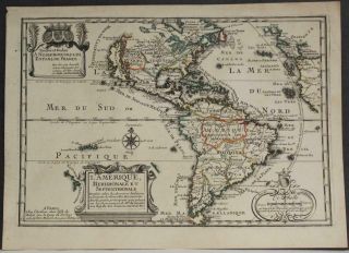
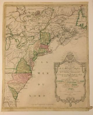
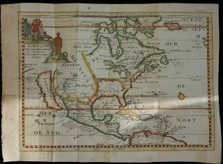
18th Century French Map Of North America
-

Las Vegas Nevada Vintage 1967 Us Geological Survey Quadrangle Map 4 Panels
-

Rare Antique 1845 Maps United States Exploring Expedition Book Antartica Hawaii
-
![Vintage 1926 Map Hollywood From The Best Surveys Of The Time]()

Vintage 1926 Map Hollywood From The Best Surveys Of The Time
-
![American Continent (western Hemisphere) 1747 Bowen Antique Copper Engraved Map]()

American Continent (western Hemisphere) 1747 Bowen Antique Copper Engraved Map
-
![Gulf Coast Florida Texas United States 1705 De Fer Unusual Antique Engraved Map]()

Gulf Coast Florida Texas United States 1705 De Fer Unusual Antique Engraved Map
-
![California As Island United States 1700 De Fer Unusual First Edition Antique Map]()

California As Island United States 1700 De Fer Unusual First Edition Antique Map
-
![1864 Us Coast Survey Chart Map Bristol Harbor Rhode Island Ad Bache 20 X 14 1/2]()
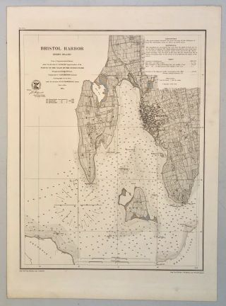
1864 Us Coast Survey Chart Map Bristol Harbor Rhode Island Ad Bache 20 X 14 1/2
-
![Vintage City Street Map Of Toronto Union Station Steamboat Landings Hotels]()
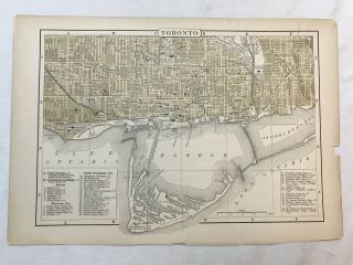
Vintage City Street Map Of Toronto Union Station Steamboat Landings Hotels
-
![Eastern United States & Canada 1702 De Fer Unusual Antique Copper Engraved Map]()

Eastern United States & Canada 1702 De Fer Unusual Antique Copper Engraved Map
-
![Mexico Florida Gulf Coast 1702 De Fer Unusual Antique Copper Engraved Map]()
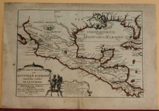
Mexico Florida Gulf Coast 1702 De Fer Unusual Antique Copper Engraved Map
-
![American Continent California As An Island 1700 De Fer Unusual Antique Map]()
American Continent California As An Island 1700 De Fer Unusual Antique Map
-
![1857 Colton]()
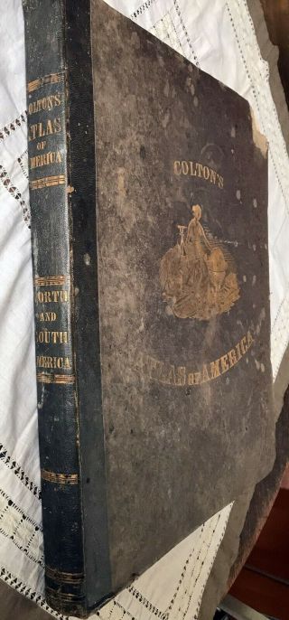
1857 Colton ' S Atlas Of America With Hand Coloured Plates Rare
-
![1794 W. Faden Large Rare Antique Map Nw America. Alaska, Canada, Bering Straits]()
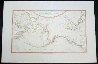
1794 W. Faden Large Rare Antique Map Nw America. Alaska, Canada, Bering Straits
-
![Rare 1775 Antique Map Of A Plan Of The Town & Chart Of The Harbour Of Boston]()
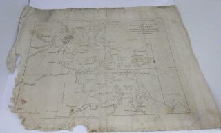
Rare 1775 Antique Map Of A Plan Of The Town & Chart Of The Harbour Of Boston
-
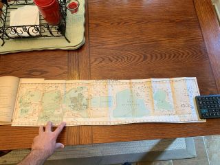
![1865 Map Topography & Hydrology Of The City Of York Egbert Viele - Very Rare]()
1865 Map Topography & Hydrology Of The City Of York Egbert Viele - Very Rare
-
![Map Of The Thirteen Colonies By Matthieu Albert Lotter Circa 1776 Engraving]()
Map Of The Thirteen Colonies By Matthieu Albert Lotter Circa 1776 Engraving
-
![Berta & Elmer Hader 1932 Pictorial Character State Map Of Texas 9 X 12]()
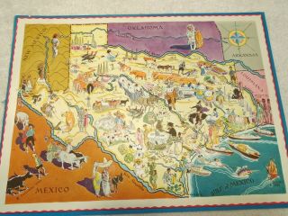
Berta & Elmer Hader 1932 Pictorial Character State Map Of Texas 9 X 12
-
![Vintage Pocket Map: 1839 Mitchell’s Map Of Ohio, Indiana, Illinois, & Michigan]()
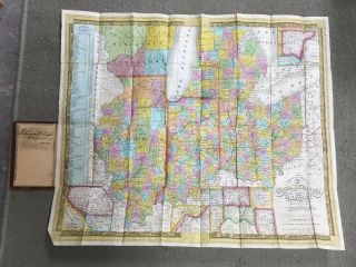
Vintage Pocket Map: 1839 Mitchell’s Map Of Ohio, Indiana, Illinois, & Michigan
-
![North America California As An Island By John Senex C1740 Antique Map]()
North America California As An Island By John Senex C1740 Antique Map
-
![Rare Antique G. W. Bromley & Co 1912 City Of Boston Mass Atlas Proper 36 Plates]()
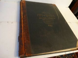
Rare Antique G. W. Bromley & Co 1912 City Of Boston Mass Atlas Proper 36 Plates
-
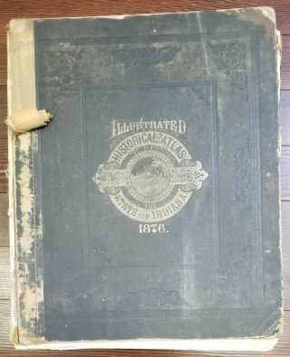
![1876 Atlas Of The State Of Indiana Dozens Of Maps]()
1876 Atlas Of The State Of Indiana Dozens Of Maps
-
![Antique 1871 Eldridge]()
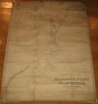
Antique 1871 Eldridge ' S ' Montauk To St Augustine W York Bay ' Nautical Map
-
![Mitchell]()
Mitchell ' S General Atlas. 1861. Complete. Rebound. Very
-
![Rare Antique 1858 Henry Walling Franklin County Massachusetts Wall Map]()
Rare Antique 1858 Henry Walling Franklin County Massachusetts Wall Map
-
![Rare Antique G. W. Bromley & Co 1891 City Of South Boston Mass Atlas 33 Plates]()
Rare Antique G. W. Bromley & Co 1891 City Of South Boston Mass Atlas 33 Plates
-
![Rare Circa 1700 A Map Of North America According To The Newest Observation]()
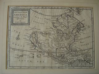
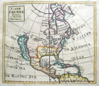
Rare Circa 1700 A Map Of North America According To The Newest Observation
-
![]()
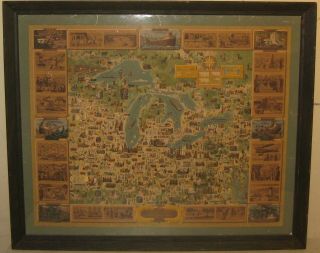
' 100 Years In Region Of Great Lakes ' Oglebay Norton Ships Pictorial Map
-
![1879 Very Large, Rare Map Of The Adirondacks]()
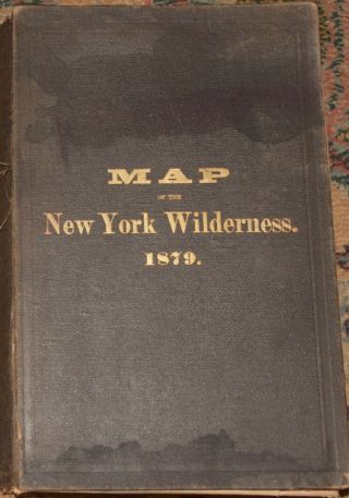
1879 Very Large, Rare Map Of The Adirondacks
-
![1893 Atlas Map Plat Turner County South Dakota Rowley & Peterson Antique Vtg.]()
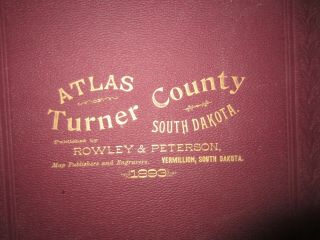
1893 Atlas Map Plat Turner County South Dakota Rowley & Peterson Antique Vtg.
-
![1859 United States Hand Coloured Antique Map By W. G. Blackie]()
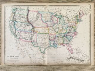
1859 United States Hand Coloured Antique Map By W. G. Blackie
-
![Map York Brooklyn Geological Large Wall Size Metal 3d Rare Vintage 24 " X 34 "]()
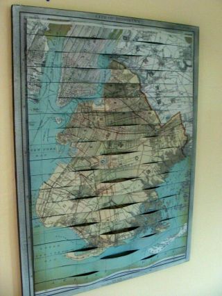
Map York Brooklyn Geological Large Wall Size Metal 3d Rare Vintage 24 " X 34 "
-
![Miniature Atlas - Borough Of Brooklyn - Ebelcher Hyde 1912 Philip M. Stern]()
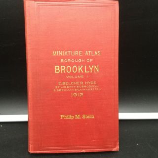
Miniature Atlas - Borough Of Brooklyn - Ebelcher Hyde 1912 Philip M. Stern
-
![Antique 1844 Mitchell’s National Map Of The American Republic United States]()
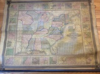
Antique 1844 Mitchell’s National Map Of The American Republic United States
-
![1903 Orange County Ny Atlas - Maps Complete Full Color - Large Size - 116 Yr Old]()
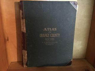
1903 Orange County Ny Atlas - Maps Complete Full Color - Large Size - 116 Yr Old
-
![Vintage Circa 1860]()
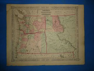
Vintage Circa 1860 ' S Washington - Idaho Territory Map Old Antique B
-
![Vintage Philadelphia Atlas. Wards 23rd & 41st G. W. Bromley & Co. Disston Area]()
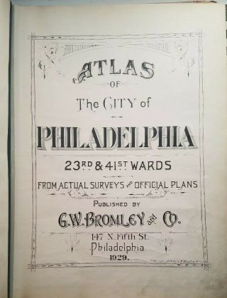
Vintage Philadelphia Atlas. Wards 23rd & 41st G. W. Bromley & Co. Disston Area
-
![American Continent California As Island 1790 Seutter/probst Unusual Antique Map]()
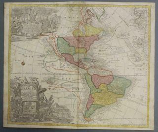
American Continent California As Island 1790 Seutter/probst Unusual Antique Map
-
![Rare Map Of North America 1809 In Vg]()
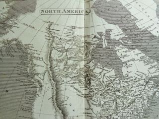
Rare Map Of North America 1809 In Vg
-
![San Francisco Bay Entrance Map 1928 Chart By U S Coast Geodetic Survey]()
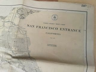
San Francisco Bay Entrance Map 1928 Chart By U S Coast Geodetic Survey
-
![U. S Geological Survey Authentic Rubber Stamp 1986 South Pole]()
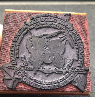
U. S Geological Survey Authentic Rubber Stamp 1986 South Pole
-
![Rare J. H. Colton 1857 Pre - Civil War Handhld Book Parchment Paper Map Of Arkansas]()
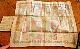
Rare J. H. Colton 1857 Pre - Civil War Handhld Book Parchment Paper Map Of Arkansas
-
![Rare Map Puget Sound & Grays Harbor Country Lowman & Hanford 1891 Washington Nw]()
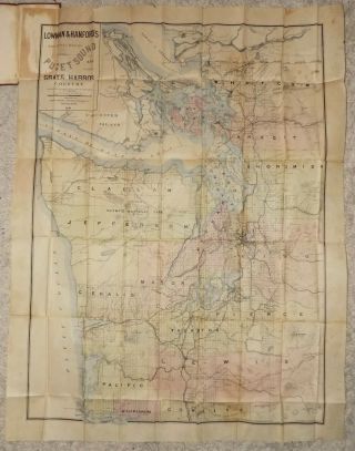
Rare Map Puget Sound & Grays Harbor Country Lowman & Hanford 1891 Washington Nw
-
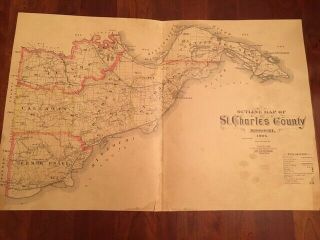
![Rare 1905 Outline Map Of St. Charles County Missouri Railroads Wagon Roads River]()
Rare 1905 Outline Map Of St. Charles County Missouri Railroads Wagon Roads River
-
![Our U. S. A. A Gay Geography By F. Taylor & R. Taylor, Little Brown & Co. 1938]()
Our U. S. A. A Gay Geography By F. Taylor & R. Taylor, Little Brown & Co. 1938
-
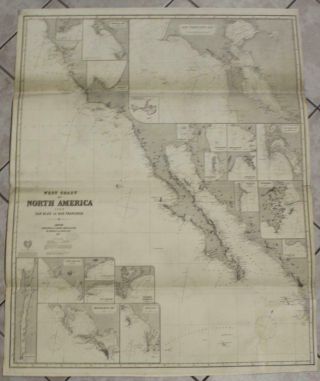
![California San Francisco Bay Usa 1887 Imray Wall Antique Blueback Sea Chart]()
California San Francisco Bay Usa 1887 Imray Wall Antique Blueback Sea Chart
-
![Antique 1787 California Missions Vellum Map Historical Atlas Art Serra Troncoso]()
Antique 1787 California Missions Vellum Map Historical Atlas Art Serra Troncoso
-
![Rare Antique Atlas 1888 Robinsons Norfolk County Mass 46 Plate Color Maps]()
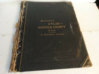
Rare Antique Atlas 1888 Robinsons Norfolk County Mass 46 Plate Color Maps
-
![1891 Fresno County Atlas With Illustrations By Thos K. Thompsons]()
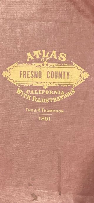
1891 Fresno County Atlas With Illustrations By Thos K. Thompsons
-
![1848 Fairfield County Ohio State Antique Map Lancaster 35 " X 28 "]()
1848 Fairfield County Ohio State Antique Map Lancaster 35 " X 28 "
-
![Eldridge]()
Eldridge ' S Chart No. 1 Vineyard Sound Antique Map On Linen 1897
-
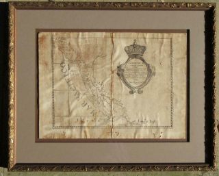
![Undated A And Accurate Map Of The English Empire In The United States Framed]()
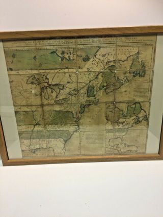
Undated A And Accurate Map Of The English Empire In The United States Framed
-
![Emily Edwards 1929 Pictorial Map Historic Guide Map San Antonio De Bexar Texas]()
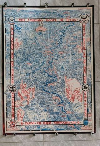
Emily Edwards 1929 Pictorial Map Historic Guide Map San Antonio De Bexar Texas
-
![Rare Antique G. W. Bromley Atlas 1888 City Of Boston Mass 34 Plates Color Maps]()
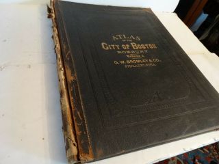
Rare Antique G. W. Bromley Atlas 1888 City Of Boston Mass 34 Plates Color Maps
-
![1897 San Francisco Folding Birds Eye View Map. Advertising. Philo Jacoby. German]()
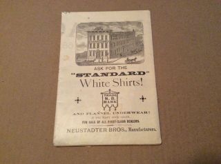
1897 San Francisco Folding Birds Eye View Map. Advertising. Philo Jacoby. German
-
![Antique 1917 Large Rand Mcnally Commercial Atlas Of America]()
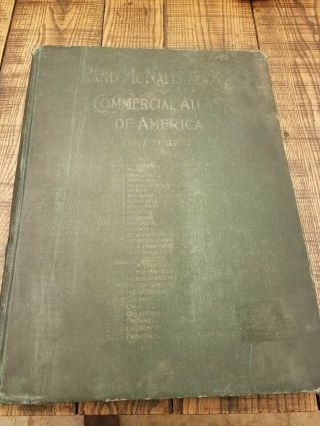
Antique 1917 Large Rand Mcnally Commercial Atlas Of America
-
![1850]()
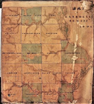
1850 ' S Hand Made Linen Map Of Allamakee County Iowa; 21x24
-
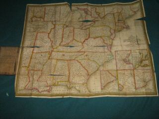
![Vintage 1844 Nebraska California Oregon Texas Territory Map Old Antique]()
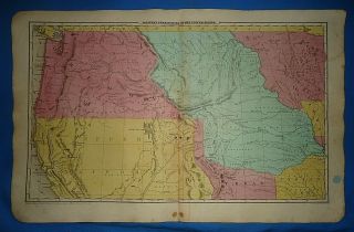
Vintage 1844 Nebraska California Oregon Texas Territory Map Old Antique
-
![1893 Gwm Baist Antique Large Atlas Of Castle County Delaware]()
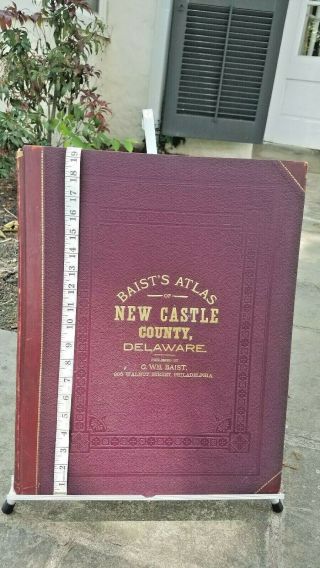
1893 Gwm Baist Antique Large Atlas Of Castle County Delaware
-
![Extremely Rare J. H. Colton 1856 Folded Pocket Map Kentucky Tennessee Not Atlas]()
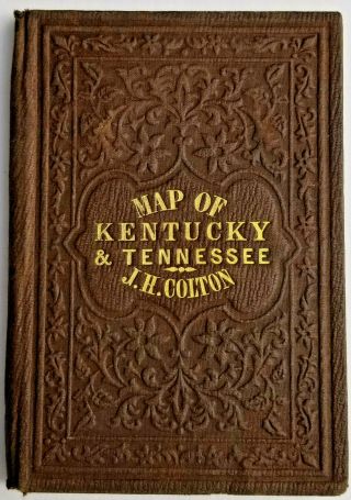
Extremely Rare J. H. Colton 1856 Folded Pocket Map Kentucky Tennessee Not Atlas
-
![1876 J D Scott Atlas Bucks County, 108 Pages, Color Maps]()
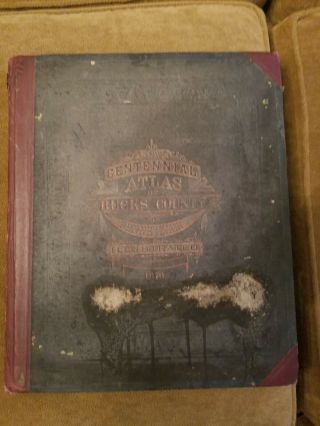
1876 J D Scott Atlas Bucks County, 108 Pages, Color Maps
-
![Antique Map - Clinton County Illinois - Warner & Beers/union Atlas Co. 1876]()
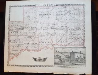
Antique Map - Clinton County Illinois - Warner & Beers/union Atlas Co. 1876
-
![1757 Vaugondy - " Big Folio Map " : North America, United States, Virginia, Maryland]()
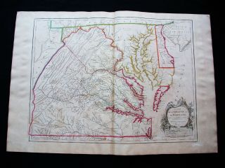
1757 Vaugondy - " Big Folio Map " : North America, United States, Virginia, Maryland
-
![1836 Mitchell Folding Map United States Drawing Soldier Texas Rangers Manuscript]()
1836 Mitchell Folding Map United States Drawing Soldier Texas Rangers Manuscript
-
![2 1860 Maps York Central Park, Olmstead & Vaux 3rd Report Commissio]()
2 1860 Maps York Central Park, Olmstead & Vaux 3rd Report Commissio
-
![1855 Us Coast Survey & Bache Antique Map Golden Gate Entrance To San Francisco]()
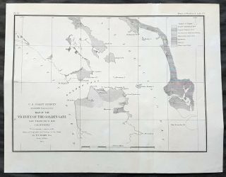
1855 Us Coast Survey & Bache Antique Map Golden Gate Entrance To San Francisco
-
![1789 Bonne - Rare Map Of North America, United States, Mexico, Canada, Caribbean]()
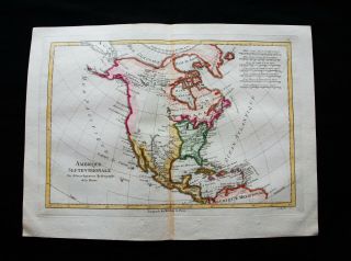
1789 Bonne - Rare Map Of North America, United States, Mexico, Canada, Caribbean
-
![Antique Map. North, Central & South America. 1905]()
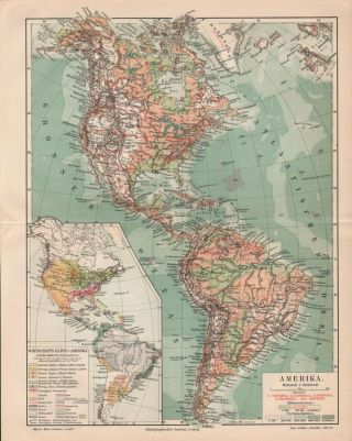
Antique Map. North, Central & South America. 1905
-
![Antique Rand Mcnally Offical Map Indian & Oklahoma Territories & Cherokee Outlet]()
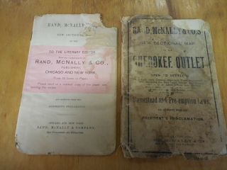
Antique Rand Mcnally Offical Map Indian & Oklahoma Territories & Cherokee Outlet
-
![Map Hudson Bay Co. Showing Northern Stores, 1670 36. 75 " X 26. 5 ".]()
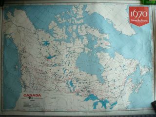
Map Hudson Bay Co. Showing Northern Stores, 1670 36. 75 " X 26. 5 ".
-
![Antique 1874 Illustrated Historial Atlas Laporte County Indiana]()
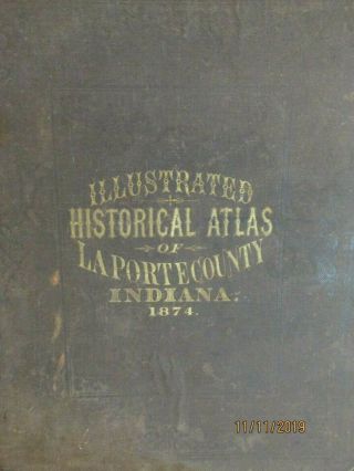
Antique 1874 Illustrated Historial Atlas Laporte County Indiana
-
![1864 Us Coast Survey Chart Map Newport Harbor Rhode Island Ad Bache 22 X 16]()
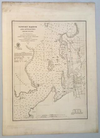
1864 Us Coast Survey Chart Map Newport Harbor Rhode Island Ad Bache 22 X 16
-
![Vtg 1927 Map Of The World Pull Down School Classroom Denoyer Geppert Antique]()
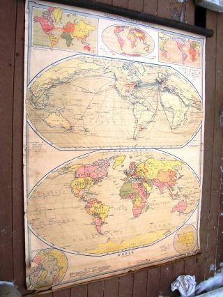
Vtg 1927 Map Of The World Pull Down School Classroom Denoyer Geppert Antique
-
![Vintage Rough Sketch Siege Of Yorktown 1781 Hand Drawn Map 1914]()
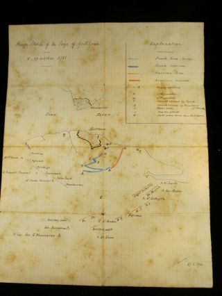
Vintage Rough Sketch Siege Of Yorktown 1781 Hand Drawn Map 1914
-
![1872 Rare Antique Beers Atlas Of Cumberland County - Pennsylvania - Maps]()
1872 Rare Antique Beers Atlas Of Cumberland County - Pennsylvania - Maps
-
![Rare Antique G. W. Bromley & Co Boston Mass Boston Proper & Back Bay Atlas 1908]()
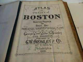
Rare Antique G. W. Bromley & Co Boston Mass Boston Proper & Back Bay Atlas 1908
-
![1853 Unusual Map Texas With Colonies California Gold United States]()
1853 Unusual Map Texas With Colonies California Gold United States
-
![Seattle Washington Vintage Usgs Topo Map 1909 15 - Minute Topographic Puget Sound]()
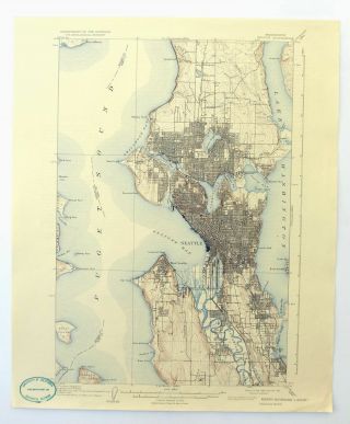
Seattle Washington Vintage Usgs Topo Map 1909 15 - Minute Topographic Puget Sound
-
![Rare 1834 Samuel Augustus Mitchell Maine Hampshire Vermont Pocket Map Framed]()
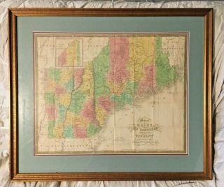
Rare 1834 Samuel Augustus Mitchell Maine Hampshire Vermont Pocket Map Framed
-
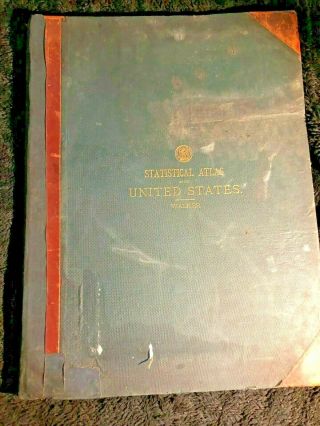
![Statistical Atlas Of The United States 1874 By Francis A. Walker]()
Statistical Atlas Of The United States 1874 By Francis A. Walker
-
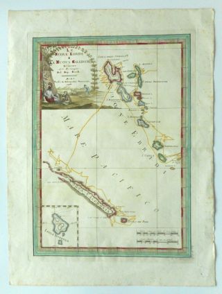
![Scarce 18th Century Cassini Map Hebrides / Caledonia 1798 After Cook]()
Scarce 18th Century Cassini Map Hebrides / Caledonia 1798 After Cook
-
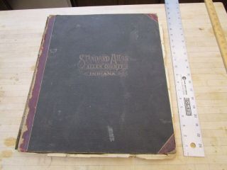
![Vintage 1898 Allen County Indiana Atlas Map Old Antique Ogle, Map]()
Vintage 1898 Allen County Indiana Atlas Map Old Antique Ogle, Map
-
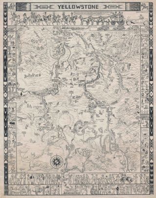
![1935 Mora Haynes Pictorial Map Of Yellowstone National Park]()
1935 Mora Haynes Pictorial Map Of Yellowstone National Park
-
![Atlas, Plat Book Of Dane County Wisconsin 1899]()
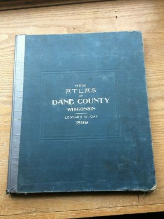
Atlas, Plat Book Of Dane County Wisconsin 1899
-
![1882 " Second Battle Of Bull Run " Fitz - John Porter Case Scarce Civil War Virginia]()
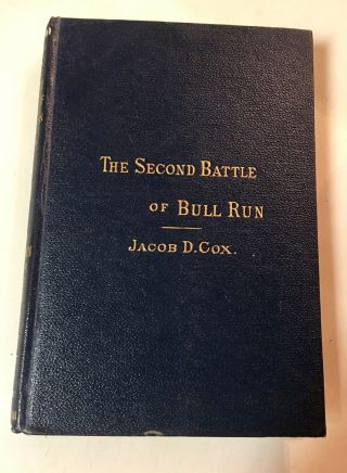
1882 " Second Battle Of Bull Run " Fitz - John Porter Case Scarce Civil War Virginia
-
![Rare Circa 1700 North America California As Island Map By N. Sanson]()
Rare Circa 1700 North America California As Island Map By N. Sanson
-
![Champlain]()
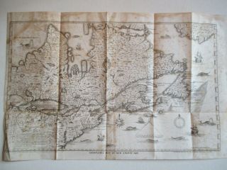
Champlain ' S Map Of France 1632, Richard H. Pease, Albany, Ny, 1850
-
![Antique 1938 Hawaii Samoa Our Usa A Gay Geography Cartoon Pictorial Map Nr]()
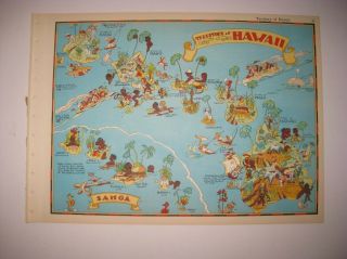
Antique 1938 Hawaii Samoa Our Usa A Gay Geography Cartoon Pictorial Map Nr
-
![1867 Atlas " York And Vicinity " By Beers Ellis Goule Maps Etc.]()
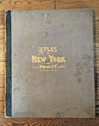
1867 Atlas " York And Vicinity " By Beers Ellis Goule Maps Etc.
-
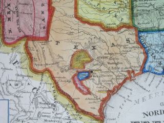
![Antique 1861 Colton’s Map Of The State Of Texas]()
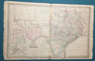
Antique 1861 Colton’s Map Of The State Of Texas
-
![Vintage Atlas - City Of Kansas, Missouri. 1886 Extremely Rare]()
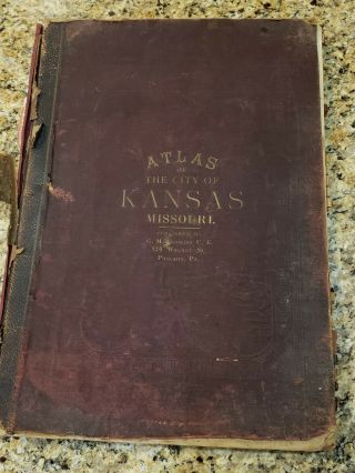
Vintage Atlas - City Of Kansas, Missouri. 1886 Extremely Rare
-
![1893 Cricket Map Halifax Dartmouth Nova Scotia Canada Cunard Piers Fort Ogilvie]()
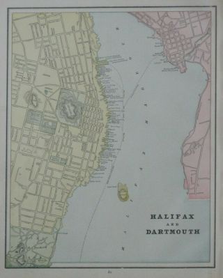
1893 Cricket Map Halifax Dartmouth Nova Scotia Canada Cunard Piers Fort Ogilvie
-
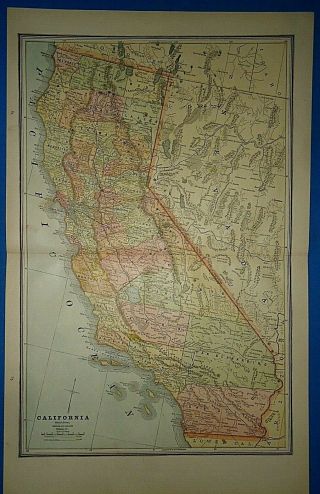
![Vintage Circa 1893 California Map Old Antique Atlas Map]()
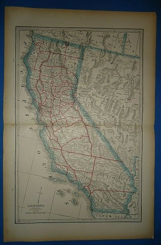
Vintage Circa 1893 California Map Old Antique Atlas Map
-
![Antique Map Hand Drawn Boston & Worcester Railroad Brookline Ma]()
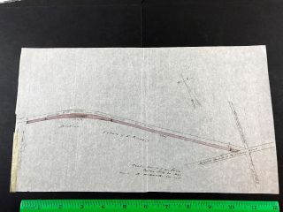
Antique Map Hand Drawn Boston & Worcester Railroad Brookline Ma
-
![Ship Island Ms 1950 Usgs Topographical Geological Quadrangle Topo Map]()
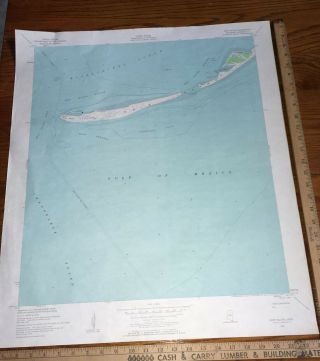
Ship Island Ms 1950 Usgs Topographical Geological Quadrangle Topo Map
-
![Huebinger]()
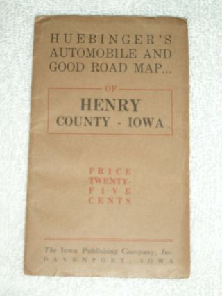
Huebinger ' S Automobile & Good Road Map, Henry County, Iowa, 1912, Railroads
-
![1902 Map Of Southern California By The Century Company. Antique]()
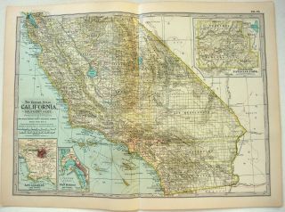
1902 Map Of Southern California By The Century Company. Antique
-
![1940s Antique Animated Nevada State Map Vintage Cartoon Map Of Nevada 6622]()
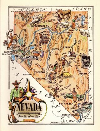
1940s Antique Animated Nevada State Map Vintage Cartoon Map Of Nevada 6622
-
![Antique Early Map United States Mexican Possessions Territories Woodbridge 1821]()
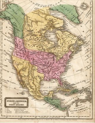
Antique Early Map United States Mexican Possessions Territories Woodbridge 1821
-
![Vintage Circa 1886 California Map Old Antique Atlas Map]()
Vintage Circa 1886 California Map Old Antique Atlas Map
-
![1923 Antique Atlanta Georgia City Map Vintage Map Of Atlanta Wall Art 6964]()
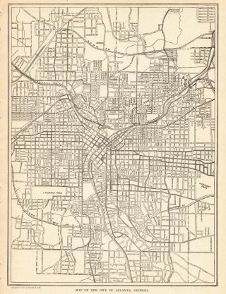
1923 Antique Atlanta Georgia City Map Vintage Map Of Atlanta Wall Art 6964
-
![1953 Jones County Iowa Farm Plat Book Anamosa Olin Wyoming Monticello Amber]()
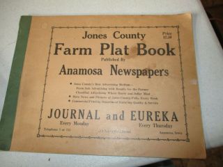
1953 Jones County Iowa Farm Plat Book Anamosa Olin Wyoming Monticello Amber
-
![Vintage 1937 Dole Illustrated Map Hawaii Island Oahu Maui Kauai Waikiki]()
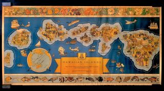
Vintage 1937 Dole Illustrated Map Hawaii Island Oahu Maui Kauai Waikiki
-
![Vintage 1862 Johnson Atlas Illustration World]()
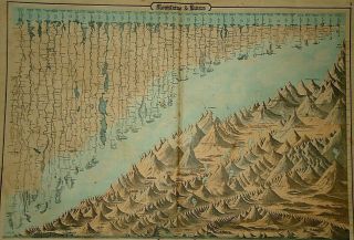
Vintage 1862 Johnson Atlas Illustration World ' S Tallest Mountains Longest Rivers
-
![Antique 38 United States Us Territory Map Augustus Mitchell 141/2 X 22 C. 1870s80]()
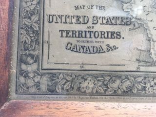
Antique 38 United States Us Territory Map Augustus Mitchell 141/2 X 22 C. 1870s80
-
![Vintage 15 Dif Aj Nystrom Pull Down School Atlas American Usa Map Qj16 - Qj30 Rare]()
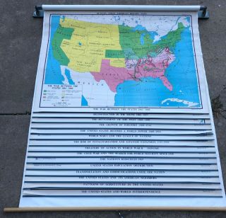
Vintage 15 Dif Aj Nystrom Pull Down School Atlas American Usa Map Qj16 - Qj30 Rare
-
![1859 Us Coast Survey Book Ad Bache With 40 Maps Hempstead Portland]()
1859 Us Coast Survey Book Ad Bache With 40 Maps Hempstead Portland
-
![Rare Hand - Drawn 1852 Joseph Bancroft Plan Of Land In Reading, Mass.]()
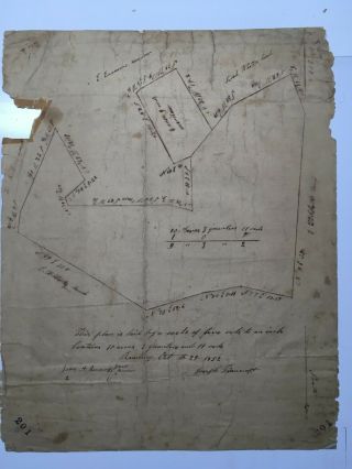
Rare Hand - Drawn 1852 Joseph Bancroft Plan Of Land In Reading, Mass.
-
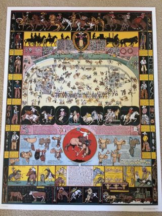
![2 Jo Mora - California Rodeo Of Salinas Poster And Grand Canyon Map]()
2 Jo Mora - California Rodeo Of Salinas Poster And Grand Canyon Map
-
![2 Jo Mora - Indians Of North America Poster And Grand Canyon Map]()
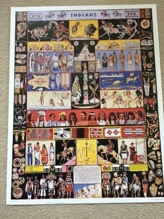
2 Jo Mora - Indians Of North America Poster And Grand Canyon Map
-
![Maps Charts Survey Of Usa Coast U. S. C. & G. Long Island Sound]()
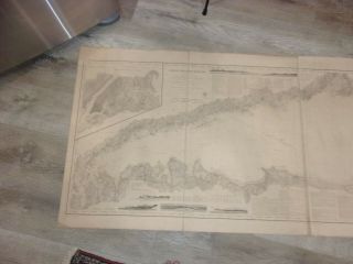
Maps Charts Survey Of Usa Coast U. S. C. & G. Long Island Sound
-
![1875 Tusten Map, From Atlas Of Sullivan County York, With Family Names]()

1875 Tusten Map, From Atlas Of Sullivan County York, With Family Names
-
![Vintage 1868 Washington Idaho Montana Territory Atlas Map Old Antique]()
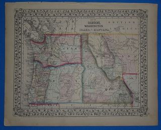
Vintage 1868 Washington Idaho Montana Territory Atlas Map Old Antique
-
![Preliminary Chart Of Hudson River York Map Us Coast Survey 1861]()
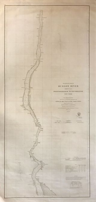
Preliminary Chart Of Hudson River York Map Us Coast Survey 1861
-
![1874 Map Blairstown, Nj F. W. Beers Warren County Jacksonburgh Walnut Va]()
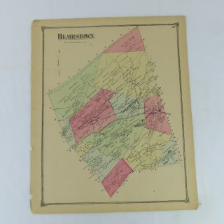
1874 Map Blairstown, Nj F. W. Beers Warren County Jacksonburgh Walnut Va
-
![1876 Rare Antique Reading Publishing Atlas Of Lehigh County - Pennsylvania]()
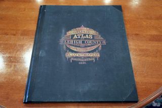
1876 Rare Antique Reading Publishing Atlas Of Lehigh County - Pennsylvania
-
![1893 Crested Butte Colorado Gunnison Nf Antique Usgs Reconnaissance Topo Map]()
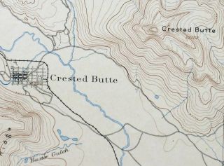
1893 Crested Butte Colorado Gunnison Nf Antique Usgs Reconnaissance Topo Map
-
![1843 Mexico Isthmus Tehuantepec / Coatzacoalcos Map 18 X 24”]()
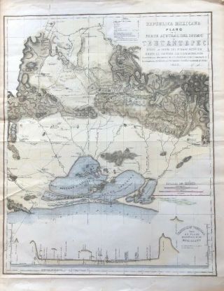
1843 Mexico Isthmus Tehuantepec / Coatzacoalcos Map 18 X 24”
© 2022, avaluer.net, Inc. or its affiliates